Written by the TreasureGuide for the exclusive use of the Treasure Beaches Report.
I went out to take a look at some beaches Sunday afternoon. It was around 3 or 4. I started at Jaycee Park and went to Wabasso. Unfortunately I forgot to take my phone, so don't have photos. I'll just describe what I saw.
Jaycee Park was poor. A lot of renourishment sand and no cuts.
At Turtle Trail the sand was down a little. The cut-off posts in front of the stairs and deck just south of the first flag pole were sticking up less than a foot, which means the level of sand there needs to erode down another foot or so. There were some cuts in the renourishment sand at the foot of the dunes, but it didn't look like it was getting into the productive sand. I noticed that sand was eroding from around the base of the first flag pole. Only a few pieces of cloth from the erosion control bags were visible around the first flag pole. You could see a little cloth down near the second flag pole too, but more sand will have to be moved for that area to become very productive. There were no signs or any equipment or anything to indicate that access would be closed real soon.
The Seagrape Trail access was closed. By the way, I few days ago I posted a photo of the Seagrape Trail parking lot and it was incorrectly labeled as Turtle Trail.
I also took a look at Wabasso, which didn't look good. Some of the renourishment sand around the north end was eroding, but nothing significant.
I didn't bother detecting.
---
After I posted the above, I received a couple reports from other people from some of the same areas.
DJ said.
I went to Wabasso to take a look. Didn’t expect much but wanted to see the before. There is some sand missing but not a lot. To the south there is not much gone. But did find some crusty clad between the seawall to the north and the first stair to the south. It was so seperated I don’t think it can be called a coin line because it was so stretched out but I belive the coins were roughly the same distance from the breaking waves, on the front of the beach. I think you found a coin line south of here some time ago.
Turtle Trail was open but not much sand missing, the beach front seemed harder and firmer though. Seagrape closed.
Finally RioMar also showed a little movement had occurred but much more is needed. There were just the beginning of some scalloping but this area is usually pretty high.
Here are DJ's photos, first Turtle Trail.
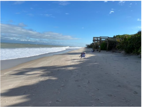 |
| Turtle Trail Sunday. |
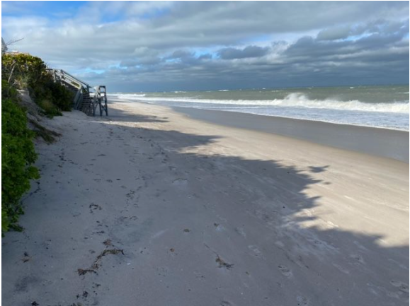 |
| Turtle Trail Sunday. |
 |
| Rio Mar. |
JamminJack also went out Sunday. Evidently he saw it more optimistically than I. Looks like he was there at a different time.
Below is what Jack said.
Well, you should had gone out.
Below are Jack's photos.
 |
| Bags At Turtle Trail. |
That is pretty much what I saw of the bags when I was there, although a bit more cloth showing.
 |
| Bag at Turtle Trail. |
 |
| Erosion At Base of Cliff. |
---
 |
| Source: MagicSeaWeed.com. |
Tomorrow the Fort Pierce surf is supposed to be around five to seven feet. That is a little less than predicted earlier. Still it is an increase, and we're supposed to get a couple more days of that.
Happy hunting,
TreasureGuide@comcast/net
---