 |
| 8AM Saturday Update. Source: nhc.noaa.gov |
First the Saturday morning update from the NHC. It looks to me like the center track might have moved a touch to the east. You can't make too much of that though.
We're still expecting maximum sustained winds of around 85mph. If the center stays to the east of us, we won't get the worst of the wind.
It seems the storm has slowed and will arrive later than previously predicted.
 |
| Surf Predictions For Fort Pierce Area Source: MagicSeaWeed.com. |
:
The surf won't increase much until later Saturday, and the peak surf won't occur until around 3 AM Sunday.
---
 |
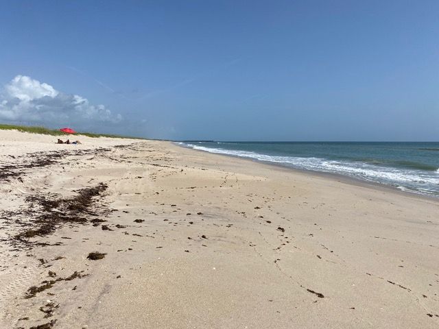
| Two Detectorists At Turtle Trail Yesterday Photo by DJ |
Here is what it looked like yesterday (Friday). Nothing very exciting, but there were a couple detectorists at Turtle Trail.
 |
| Turtle Trail Friday. Photo by DJ. |
This will give you an idea of beach conditions before the storm. In a couple days we'll be able to see how much it changed as a result of the storm.
People like to see what is going on around the Treasure Coast. As they say, "Knowledge is power," but that is only if you know how to use, and actually put it to work. That means one of the things you need to know, is how to apply that knowledge. It might be more accurate to say knowledge is potential, and applying knowledge is power.
 |
| Wabasso Friday. Photo by DJ. |
You can see a number of waders down by the Disney Resort.
 |
| Ambersands Friday. Photo by DJ. |
 |
| Ambersands Around Noon Friday. Photo by DJ. |
 |
| South of Sebastian Inlet Friday. Photo by DJ. |
Thanks DJ.
---
Happy hunting,
TreasureGuide@comcast.net